
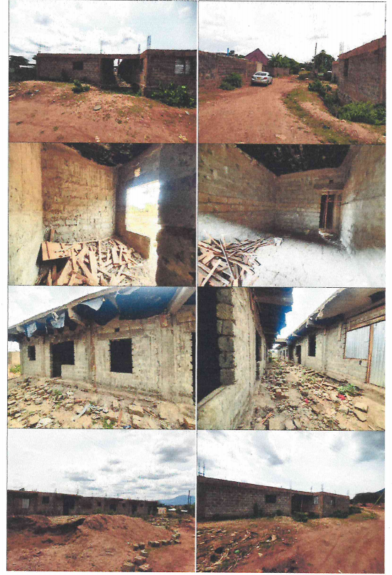
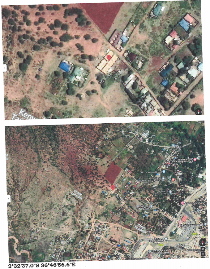
All that parcel of land known as LR. NO. KAJIADO/METO/2830 & 2831 and measuring 0.046 HA each. The properties are situated about 1 kilometre off Namanga road at a turn off a few metres after KCB Namanga Branch within Namanga, Kajiado County.
GPS Co-ordinates. 2°32’37.0″S, 36°46’56.6″E
DEVELOPMENTS: Two incomplete Single Storey residential blocks.
