


All that parcel of the land known as NAKURU MUNICIPALITY BLOCK 21/889 and measuring 0.1506HA (0.3721Acres).The property is approximately 3 kilometers North of Nakuru Central Business District. It is about 1 kilometer off and to the right of Nakuru- Kiamungi- Mogotio Tarmac Road deviating about 150 meters past Rubis Milimani Service Station and about 400 metres South of Nakuru GK Prison.
GPS COORDINATES:Latitude; 0.16’09.8’’ South, Longitude; 36003’10.8’’ East or Northing -0.2693930 and Easting 36.0529990.
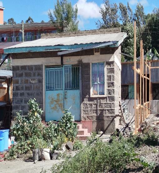
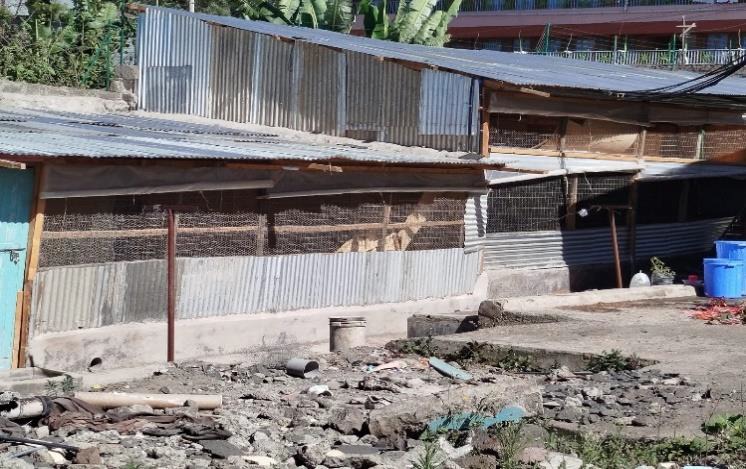
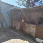
DEVELOPMENTS: RESIDENTIAL USE ,4 BUILDINGS AND SEMI PERMANENT STRUCTURES